Three separate multi-day super snow storms are currently impacting The Alps, North America’s Pacific Coast and Japan, and the snowfall totals, which are expected to grow through the weekend, are already starting to stack up.
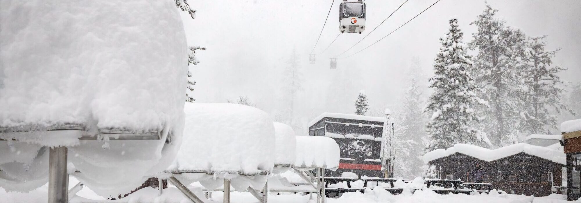
So far the storm hitting the Pacific Coast around California, likely related to the current Super El Niño, appears to be posting the biggest numbers with California’s Boreal ski area reporting 52″ (132cm) of snowfall over the past few days. The Palisades, which opens for its 26-27 season, is pictured to, already-open Mammoth mountain below, both pictured yesterday.
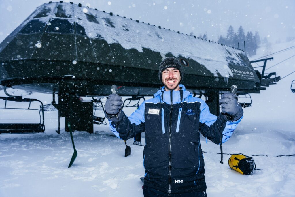
Ski areas are also scrambling to open in japan where forecasting agencies say there could be as much as 180cm (6 feet) of snowfall my Monday. This was a ski area in the Hakuba Valley earlier today.
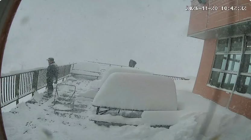
It’s also been snowing across The Alps, heaviest in the west and on the highest terrain, although snow has been falling down to resort level in some places and over a wider area.
The french 26-27 season is due to get underway tomorrow with Tignes and Val Thorens expected to open first, so the snow appears to have arrived with perfect timing. The Chamonix Valley, higher parts of which are forecast to received 1m+ snowfall totals by the end of the weekend, is pictured below today.