



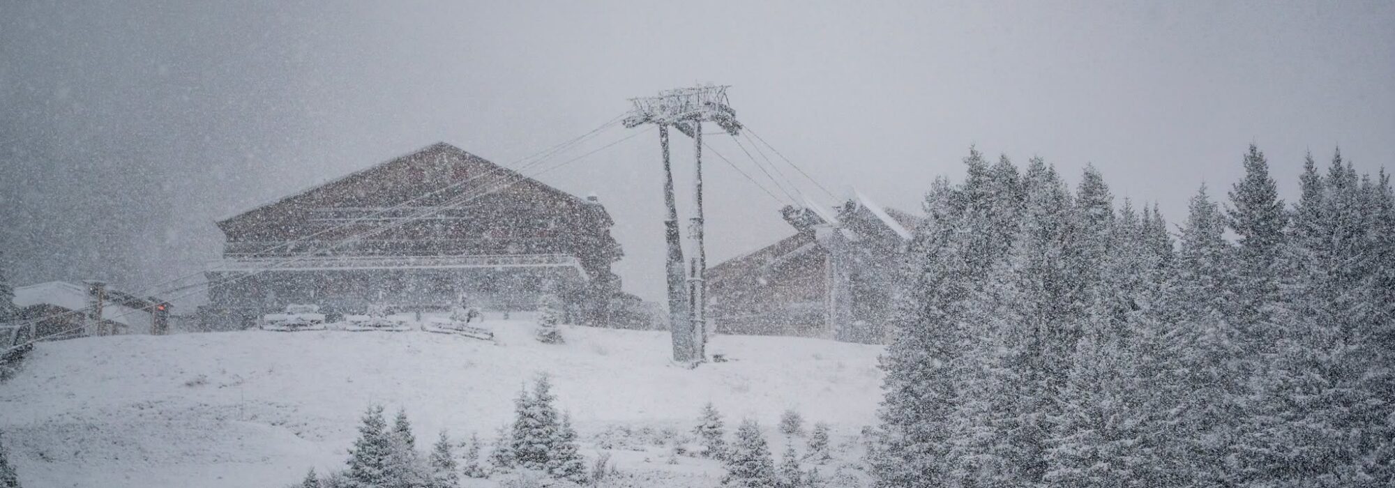
A huge multi-day snowstorm is currently hitting the Alps, with similar weather events taking place simultaneously in Japan and on the US West Coast with snow reporting agencies like Snow-forecast predicting totals of about 1m will have accumulated in some areas by the end of the weekend.
After record summer heat and a problematic autumn of general slightly warmer than average temperatures and lower than average precipitation, the big snowfalls appear well-timed for the start of the main ski season.
Lots of big name resorts open this weekend including the first in France for 26-27, Tignes and Val Thorens, and North America’s largest, Whistler Blackcomb.
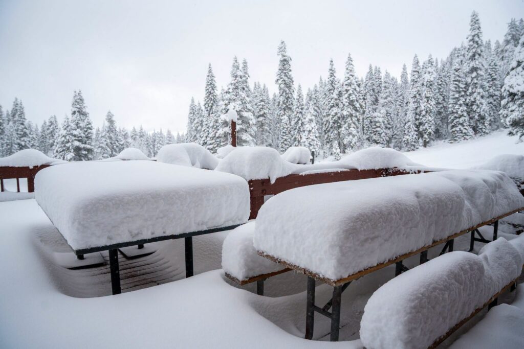
The snow is, inevitably, not just floating down as perfect powder flakes but getting blasted in on violent gales at times and with fluctuating temperatures, the rain/sleet/snowline is moving too with early reports from the first day of Japan’s four day storm reporting ‘heavy, wet snow’ but with the expectation things will get more powdery by the weekend. In California though it’s already getting fluffier up high, with Sugar Bowl posting this image.
In the short term (the next few days), the volumes of snow and other weather extremes ares causing day-to-day operating issues at some of the 50 or so ski areas already open for the season and avalanche danger agencies are warning that risk levels are very high already.
But in the medium-long term the snow should provide the base depths resorts have been needing to establish to get their seasons off to a good start. Chatel is pictured top this morning.