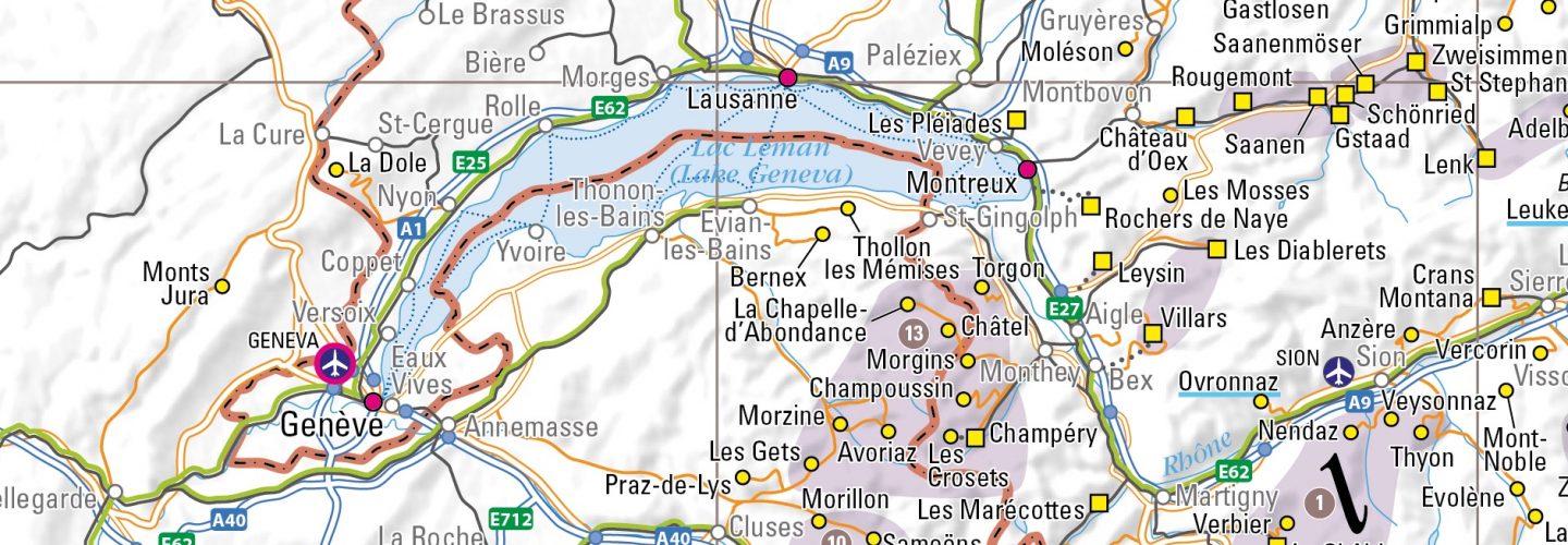
In this era of ever more apps with geo-location and digital route planning, Alpine travel specialists, 2theAlps have decided there’s still a market for people who like to see their maps on a large piece of paper that doesn’t need charging up or a wifi signal. The company have therefore produced a new Ski Resort Map of the Alps in the classic folding paper map format.
Believed to be the first map of its kind for many years, the map shows the location of more than 600 ski resorts and a detailed transport network of roads, railways, airports and ferries.
The map helps skiers identify ski resort locations and their relationships to each other instantly, and has the nice feature that big ski regions like the Portes du Soleil or Espace Killy are showed as shaded sections, giving an ideas of the scale of these areas and of how close the borders of some are to the next giant ski region.
In total the Ski Resort Map of the Alps shows 640 indexed resorts and over 30 airports and provides detailed information on 100 selected resorts including the extent of downhill and cross-country skiing, the number of lifts, altitude range, availability of glacier skiing, and accessibility by train.
Among many interesting points conveyed by the map, it shows that nearly 150 ski resorts can be reached directly by train and that Friedrichshafen, Geneva, Lyon, Milan Malpensa, Munich, Turin, Vienna and Zurich airports all have their own railway stations for an easy onward transfer
The map costs £9.95 and is available from 2theAlps.com, Waterstones and Stanfords. It is also available as a wall map for £15 from 2theAlps.
The company says it is planning more maps ahead of the 2017-18 ski season.


