
A large snowstorm is currently impacting the Alps, with the heaviest snowfall in the northwest (France and parts of Italy and Switzerland) but with almost everywhere seeing plenty of snowfall.
It’s arrival is a little late in the day but it’s looking like the biggest snowstorm of the 22-23 season to date with higher slopes potentially getting over a metre of new snowfall by Sunday.
After just slow declines in base depths over the past two months, the numbers have been jumping back up with Avoriaz and Tignes the first in Europe to post upper base depth over 3 metres (10 feet) since mid-January. Cervinia, another ski are open into May, has posted the biggest fall so far – 60cm in the last 24 hours.
But the storm is getting quite violent with very strong winds expected through the weekend, already leading to resorts closing high lifts and runs through safety concerns.

There is also a concern about the freezing point level with lower resorts and valley slopes potentially seeing heavy rain rather than snowfall, although the latest forecasts put the freezing point down at 1200-1500m, lower than originally feared.
Avalanche danger levels are also increasing, now up at level 3 in many areas and likely to rise higher.
For those leaving and arriving, particularly at high resorts in the French Alps, resorts warn that traffic conditions are likely to be the most difficult on Saturday and Sunday mornings with most requiring chains to be fitted to vehicles.
On the upside, the boost to snow cover is likely to be significant on higher slopes at resorts that stay open to late April and in some cases into May. It’s also good news for summer glacier ski areas which up to now had been posting very thin bases.
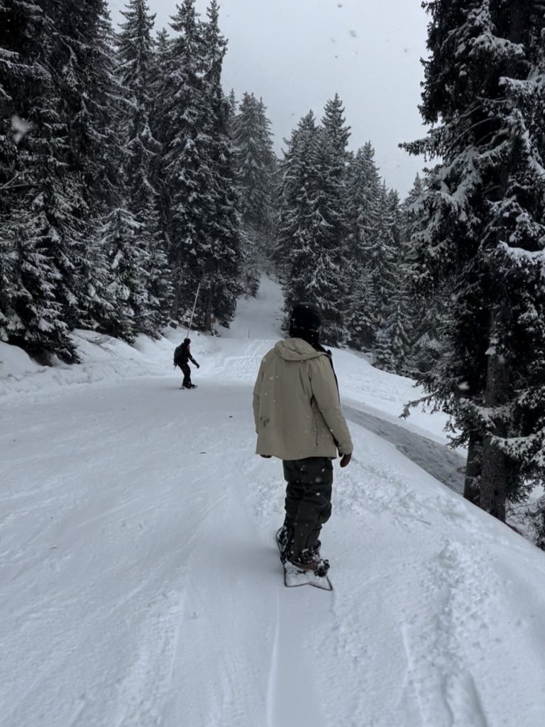
Montgenevre, which has had 30m of snowfall so far today (Friday 10 March 2023) is pictured above and top, Verbier below.