

Forecasters are predicting widespread snowfall over much of the Alps on Wednesday and Thursday January 4th and 5th this week.
Similar forecasts by some a fortnight, with more dramatic predictions up to five feet of snow at Zermatt spectacularly failed to materialise, but this time the forecasts are for snow expected in the next 24-72 hours, rather than the longer-range forecasts made a week or more in advance of the expected snowfall dates which in the end only really resulted in snow in a narrow area along the French/Italian border.
This time though the forecasts are much closer to the actual predicted snowfall date so more likely to be correct, hopefully. The forecasters expect 30-40cm of snow over a fairly wide area across the Alps, in fact starting East of the Alps on Wednesday with snow in the Czech and Slovak Republics as well as in Austria. The Arlberg is among the areas expected to have received 40cm or so by the end of Thursday.
The snow will move increasingly in to Switzerland and France on Thursday 5th, with Engelberg and Morzine among the areas forecast to see the best of the snow at present.
The Portes du Soleil (Avoriaz, Les Gets, Morzine, Chatel, Champery etc) and Jungfrau regions which have thin cover up top and little or nothing at lower resorts should both be among the beneficiaries.
It’ the third winter in a row that a dry December has been followed by a significant snowfall around the turn of the year. However autumn 2016 wads not so dismal for snowfall as the previous twpo as there were exceptional snowfalls in early December that allowed some resorts to open early almost two months ago, and generally cool temperatures since allowed many to make snow, when the previous two autumns had been too warm. There was also snow on some parts of Austria last week and in Italy/France just before Christmas, however both snowfalls were over limited areas.
But most resorts have had lots of terrain open for skiers and boarders over the Christmas/New Year holidays despite the fact that many have not seen any real fresh snow for almost two months.
Not all of Europe has been suffering from little snowfall though. Sierra Nevada down in southern Spain had a very snowy November and early-December giving it a big base and since the start of this year up to 50cm of snow has fallen in northern Scandinavia at small ski areas like Stranda, as shown in this video from yesterday.
Det snør tett på Strandafjellet i dag, ca 30cm har komt og meir er i vente. I morgon (Mandag) held vi åpent fursettrekket frå 10-16
Posted by Strandafjellet on Sunday, 1 January 2017
Not all northern European areas are faring so well however, all five Scottish areas are currently closed and waiting for snow.
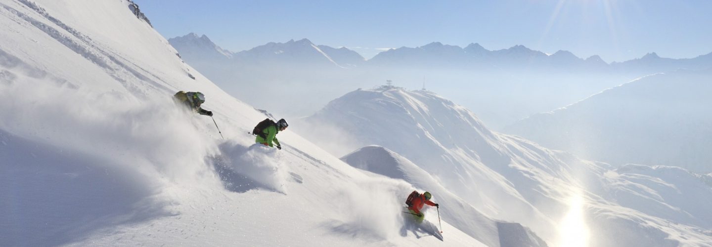
(Top: Optimistic library picture Credit St Anton am Arlberg)