
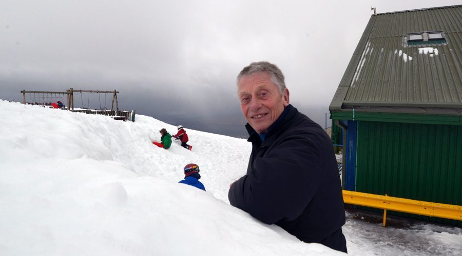
Iain (Spike) Sykes (pictured above by Iain Ferguson), founder of Nevis Range near Fort William on Scotland’s West Coast, has today claimed that the ski area has more snow than ever in the history of skiing at the mountain.
“This is the best days skiing I have ever had in Scotland. I skied in places that we never planned to ski when building the resort as we never for a moment thought it would be possible,” said Mr Sykes, “I skied ‘far’ far west, and the Nid Wall where there’s flat even snow. All the fences have vanished. I reckon its 60ft deep in the Goose Gully which has completely flattened the run out – it’s probably the best part of a mile wide. I’ve never seen it looking like it is today. I haven’t, I genuinely haven’t. If it keeps on like this, I will just keep on skiing, right through summer. It’s just magic.”
Marian Austin, the current MD, added, “Our records show that it’s snowed in each 24 hour period since we opened for this winter season on 20 December 2013m – we’ve almost forgotten what it’s like not to have snow falling each day. But the snow has not come without its challenges and the opening up process can take much longer than normal. The team on the hill has been working extremely hard in incredibly difficult conditions to prepare the hill for our customers each day. They dig out the ski tows and the lift operator huts at each tow, and then the next day they have to repeat the process all over again. We’ve been battered by south westerly winds which are not particularly good for our operations and have damaged our tows, and there’s been days when it’s been too windy to operate. However, looking ahead, with the amount of snow we already have, once the weather becomes more settled, the skiing will be amazing and we’re already planning to continue skiing right into spring.
STV weatherman, Sean Batty, explained, “The last few months have felt more like an extended autumn rather than winter with spells of wet and windy weather. Extreme cold across Canada and parts of US, along with warmer air coming up from the south across the western Atlantic, has given a huge temperature contrast and created a very strong jet stream which has ploughed across the ocean towards the UK. Throughout most of the winter the strong jet stream has helped in the development of deep low pressure systems which have brought the bouts of stormy weather. In 2009 and 2010 the jet went south during the winter which brought the very cold and snowy conditions we saw back then, but this year it’s been fairly close by or just to the south of the UK. Since the jet has been close to the UK this winter it’s meant temperatures have been around, or slightly above, average and the air has been moisture laden.”
“The average temperatures and moisture from the Atlantic has mostly brought rain to low levels but this has been excellent news for the ski centres as the temperatures here have been around freezing with the moisture falling out as snow. “The temperatures have also remained fairly consistent and we’ve also avoided very mild spells which could have thawed some of the lying snow. So everything has worked in favour of the ski centres so far and there doesn’t look to be much change on the way in the coming weeks with further spells of snow and strong winds for the mountains.”