
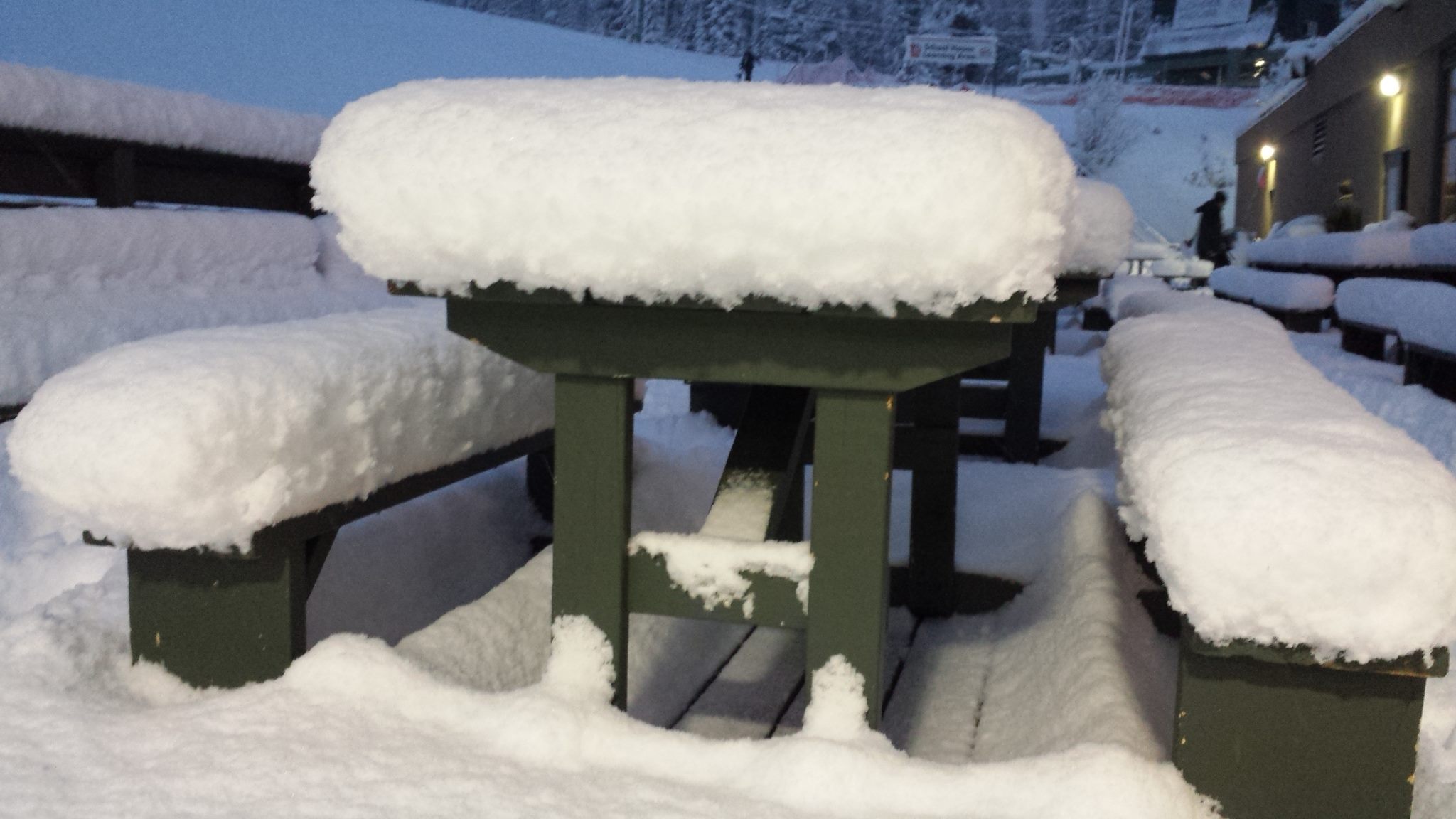
Things are looking decidedly snowier in the Alps, Dolomites and Pyrenees than they did a week ago. There have not been huge snowfalls but rather steady accumulations and, crucially, temperatures have dropped allowing snowmaking down to low levels so bases are building.
Resorts like Courchevel and the SkiWelt that postponed their planned opening a week ago are now open or opening and the FIS, which cancelled races in the alps this weekend when they made their decisions a week ago, have given the go ahead for races next weekend.
There’s also been snow in Scotland (most areas hope to open here this weekend) and Scandinavia (where up to a metre of snow has fallen) and much more snow in North America, most recently with big falls in New England on the East Coast. Only the north west corner of the continent is looking rather warm and wet at the moment, sadly.
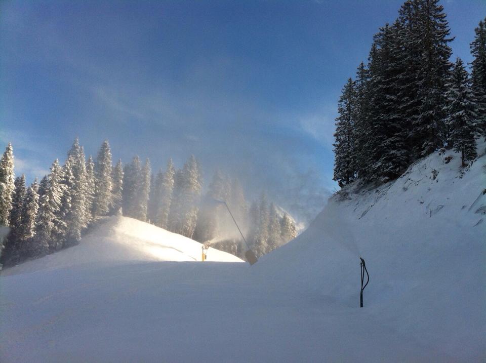
Austria
Almost all Austrian ski areas have seen snowfall in the last week, most reporting 5-20cm of fresh stuff in the last 72 hours alone, and more snow is forecast. It’s not great and more snow is definitely needed but its something. The glaciers remain the best for cover at the moment (2m at Hintertux and others with similar depths), with plenty high up from the big November falls, but thanks to snowmaking and the fresh snow, lower centres are starting to look good too. The Stubai is pictutred after fresh snow this week
France

Most big French areas are due to open this weekend if they have not done already. Thanks to snowfall over the last week (accumulations of 10-70cm have been reported) most now look like they’ll open on schedule and those that had to delay opening last weekend have also now opened. Images from altitude, purpose built centres are looking very snowy indeed, even if depths are not yet big. Font Romeu, in the French Pyrenees, is pictured above
Italy
Italy has reported some of the biggest snowfalls of the last week with some areas reporting 25cm in 24 hours. Again the glaciers and altitude resorts are naturally in the best shape with Cervinia offering top to bottom skiing over its huge vertical and over 2m at the top, a foot at resort level. Dolomiti Superski reports at least some terrain will be open at all twelve of its areas this weekend (Madonna di Campiglio is pictured this week)
Switzerland
Most Swiss areas have reported between 10 and 25cm of snow in the last week and like the rest of the Alps, are looking much better than they did this time last week. Higher resorts continue to report the best conditions with over 2m base depths at Andermatt and Saas Fee for example, while other areas, like the rest of the Alps have more limited cover typically with little at resort level and 30-50cm on upper slopes. Les Diablerets pictured here.
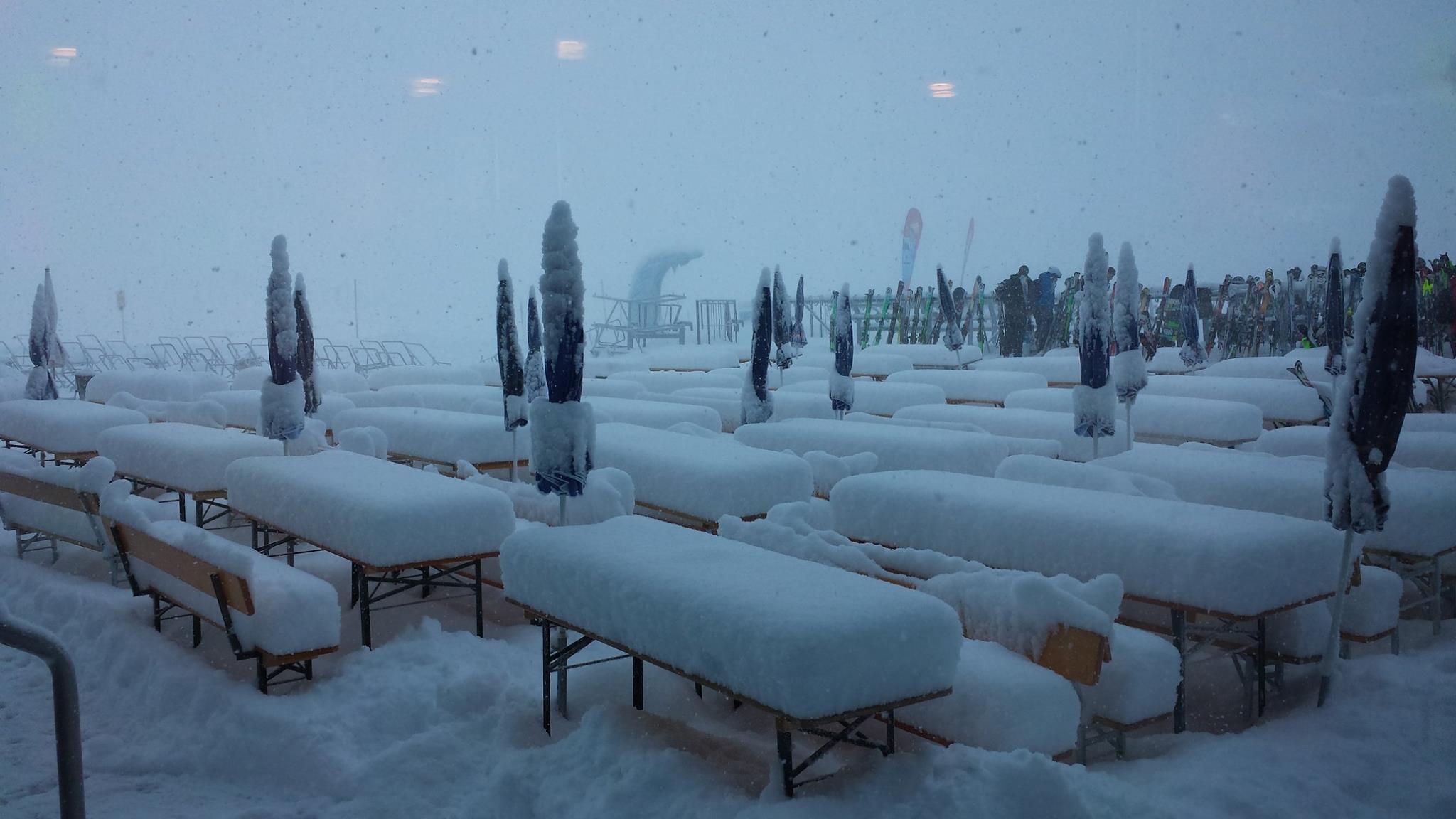
Pyrenees
The Pyrenees have seen some of the best snowfalls of mainland Europe over the last week with up to 60cm recorded in the French Pyrenees and resorts in Andorra and Spain opening additional terrain thanks to the snow there. Vallnord in Andorra is pictured.
Scandinavia
There have been big snowfalls in Norway, where Voss (pictured above) has reported nearly a metre of snow in the last week. Are in Sweden is also the focus of world attention over the next 72 hours as World Cups rescheduled from Courchevel and Val d’Isere are staged here.
Eastern Europe
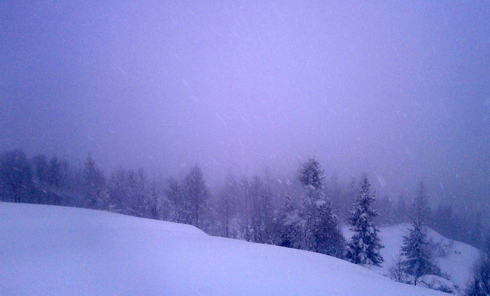
There have been quite healthy snowfalls reported in Eastern Europe over the last week with 30-40cm accumulations transforming conditions for the better.
Scotland
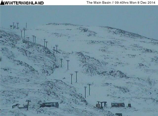
The ‘weather bomb’ in Northern Britain brought extreme weather (including snow) to northern Scotland through the latter half of this week. Cairngorm and the Lecht say they hope to open some terrain this weekend and Glenshee is assessing their slopes with a view to doing the same, only Glencoe (pictured) and Nevis Range have said they’re unlikely to open.
Canada
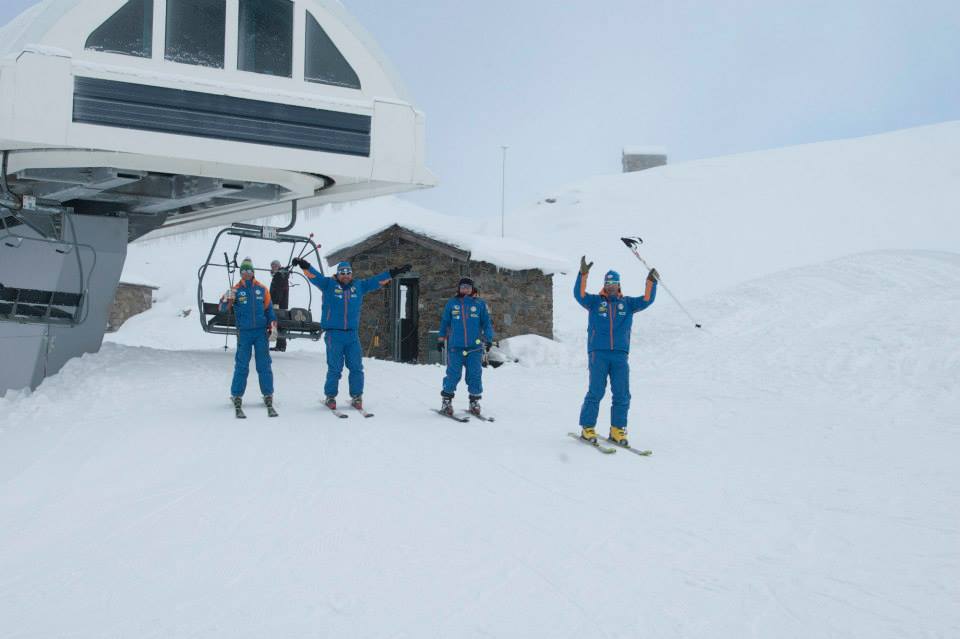
Canadian ski areas are in great shape in most cases. Base depths in Alberta and inland British Columbia re typically around the metre mark and there’s been plenty of snow on the Eadt in Quebec too, with snow still falling across the country. The only exception are West coast resorts in BC including Whistler which has a couple of feet lying on upper slopes and fresh snow reported but that’s been falling as rain at resort level. The snow has started falling again in Marmot Basin (pictured) with 40cm fresh overnight.
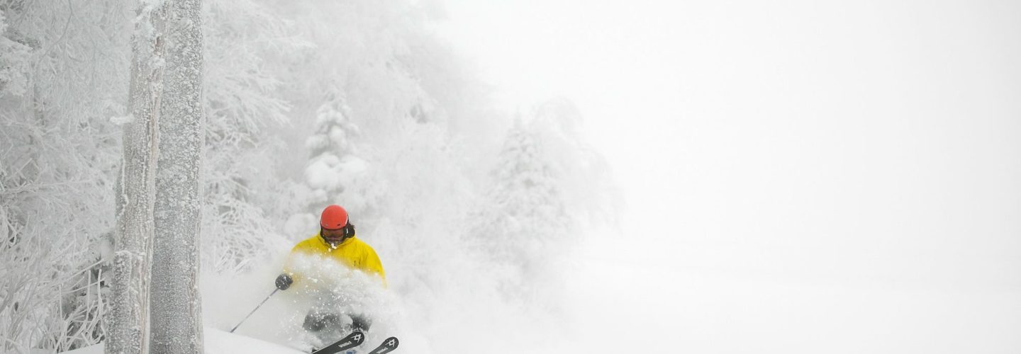
USA
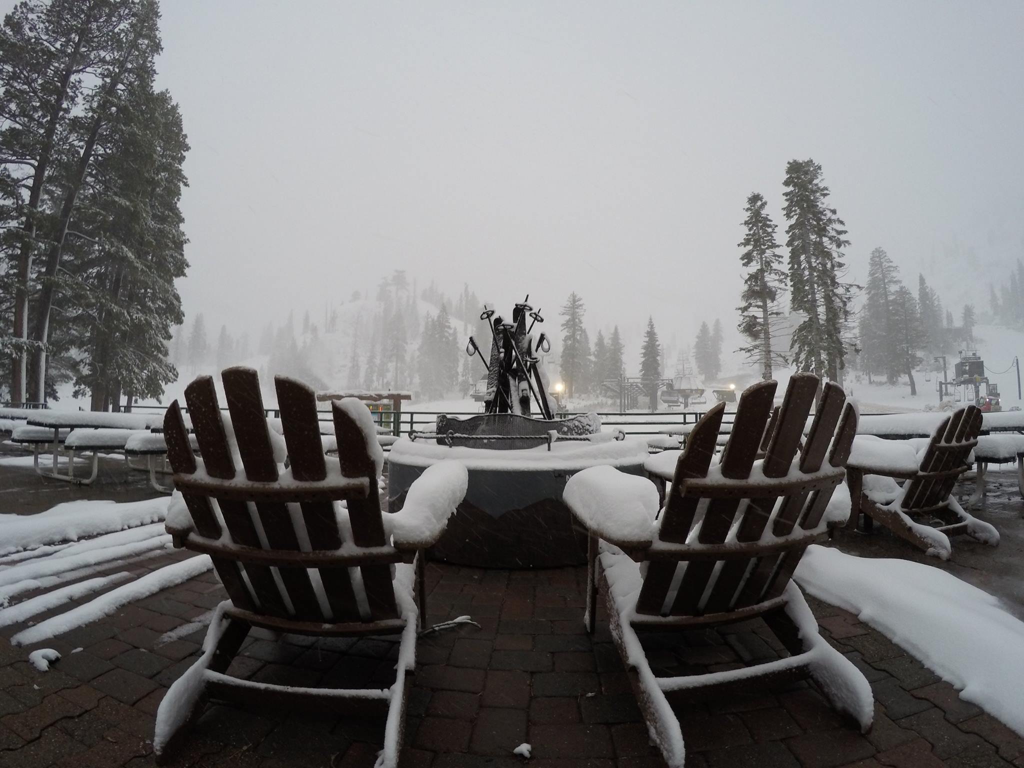
The best powder snow in the world over the past few days has been in New England where many areas have been reporting foot falls (30cm) in 24 hour periods and posting great powder shots on social media. The shot at the top of our report is from Killington in Vermont. The best base depths are in Colorado and Utah after snow in previous weeks, which has now eased. The only weak area for snow cover is the NEW corner where some areas in Oregon and Washington state have delayed opening for the season. It’s snowing again in California at the moment. Squaw Valley reports 40cm of fresh snow this morning and sent this picture of a chair…